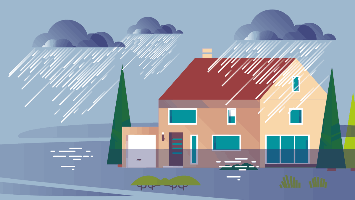
Les inondations
Pluies intenses, débordements des cours d’eau, submersions des bords de mer ou remontées de nappes phréatiques : les inondations sont le premier risque naturel en France. De plus en plus fréquentes, elles peuvent provoquer des dommages matériels et humains importants. En 2025, un Français sur quatre habite dans une zone potentiellement exposée aux inondations par débordement de cours d’eau. En cas de vigilance orange ou rouge, il est important de suivre les consignes de sécurité et de se tenir informé de l’évolution de la situation.
Heavy rain, river overflows, coastal submersion, or groundwater table rises: floods are France's leading natural hazard. Increasingly frequent, they can cause significant material and human damage. In 2025, one in four French citizens lives in an area potentially exposed to river overflow flooding. During orange or red alerts, it is important to follow safety instructions and stay informed of the situation.
- Floods: France's leading natural hazardMajor natural hazard• Floods are the most widespread natural hazard in France. Since 1950, France has experienced 161 severe natural events—defined as natural events causing at least ten deaths or material damage exceeding 30 million euros. Two-thirds of these 161 events are floods. • Approximately 11 million homes are located in areas potentially exposed to flooding from river overflow. They house nearly 18 million people: one in four French citizens ( Source: SDES, Natural Hazards in France – State of Knowledge in 2025 ).Prevention plans• Flood risk prevention plans are established in municipalities to reduce residents' vulnerability. These plans define urban planning and development rules. For example, they can prohibit construction in flood-prone zones or require building above the highest known flood marks. In 2023, nearly one-third of French municipalities are covered by a Flood Risk Prevention Plan (PPRI) ( Source: SDES, Key Figures on Natural Hazards 2023 ).Flood Risk Prevention Plan (PPRI) mapRed, orange, yellow, green alertsTo know the danger level in your department, Météo France publishes two alert maps each morning: one for today and one for tomorrow. The alert considers several hazards, including heavy rain–flooding and wave–coastal submersion. Green alert means no particular danger. If your department is on yellow alert, stay attentive: these are usual weather conditions for your region but sometimes dangerous. With orange alert, be very careful and stay informed of safety instructions, as dangerous phenomena are expected. Red alert is the highest danger level: particularly intense weather conditions are forecast. Keep regularly updated on the situation and follow instructions from authorities.
- River floods and overflowsFlood definitionA flood is an increase in the water level and flow rate of a river. It occurs during repeated or intense rainfall, and sometimes with snow melt in mountains.Slow floodsFloods can be slow or rapid. Slow floods develop over several days and last longer: between one day and several weeks. They significantly affect people's daily lives because roads and electrical and telephone networks can be disrupted.Flash floodsFlash floods mainly affect rivers and torrents in mountainous regions. Water level rises very rapidly: it can rise several meters in less than two hours. River flow speed also increases considerably.Vigicrues monitoringThe Vigicrues website allows you to track river overflow risks in France. You can register to receive warnings.
- Heavy rain: flash flooding from runoffDrainage system saturationA particularly long or intense rainfall episode can cause flooding when water no longer infiltrates the soil. Runoff flooding causes significant material and human damage. Normally, rainwater is managed by a drainage network. Depending on the municipality, water is redirected directly to rivers or joins treatment plants with wastewater. When rainfall is very heavy, this drainage system becomes saturated. Water then flows through streets. In cities, flood risk worsens with soil sealing: covering earth with impermeable material like concrete prevents water infiltration.Solutions for managing rainwater and soil infiltration?More sustainable solutions exist for managing urban stormwater and promoting soil infiltration. Examples include creating green spaces, green roofs, and bioswales. Bioswales are shallow vegetated ditches that collect water for infiltration into the ground. Also, impermeable surfaces like concrete can be replaced with permeable materials that allow water to pass through.Mud flowsIn rural areas, floods can turn into mud flows causing major damage to crops, buildings, and roads: a mixture of water, earth, and debris moving very rapidly. Mud flows are dangerous for residents.Water and soil pollutionFloods also risk water and soil pollution, as water can absorb pollutants and spread them along its path. In cultivated areas, these are pesticides and fertilizers. In cities, main pollutants transported are hydrocarbons and heavy metals.
- Coastal submersionCauses of marine submersionMarine submersion is temporary coastal flooding lasting between a few hours and a few days. It occurs when sea level or wave height exceed the coast. These floods are usually caused by very high tides and particular weather conditions: a storm, rough seas, and an onshore wind blowing from the sea toward land. In tropical regions, marine submersion is often linked to cyclone passage.Exposed regionsFrance's regions most exposed to marine submersion risk are Hauts-de-France and Nouvelle-Aquitaine, followed by Pays de la Loire and Normandy ( Source: SDES, Key Figures on Natural Hazards 2023 ). Overall, 1.5 million people in France live in an area potentially exposed to this type of flooding ( Source: SDES, Natural Hazards in France – State of Knowledge in 2025 ).
- Groundwater table floodingGroundwater table functionGroundwater tables are underground water reservoirs. Their level varies seasonally: they fill mainly in winter when rainfall is more abundant. Tables can sometimes become overcharged, and water rises until it reaches cellars, basements, or the ground surface. This occurs due to water accumulation in tables, abundant rainfall, or floods. These are slow floods that can last several months.Most exposed zonesDepending on soil type, certain zones are more exposed to this flooding risk. Groundwater table rises occur mainly in regions with limestone and chalk aquifers. Aquifers are porous or fractured rocks that allow water to circulate.
- What to do during a flood?PrepareTo prepare for flood risk, learn about the hazards you face and ask your town hall about protection measures, like evacuation shelters. Prepare a 72-hour emergency kit with food and essentials. Set up a refuge area upstairs with an opening for evacuation, or identify a nearby shelter. Prepare materials to elevate furniture and sandbags to create flood barriers.Respond during floodingIf flooding is announced near you, avoid traveling and don't take your car: 30 cm of water is enough to sweep away your vehicle. Don't cross a flooded zone, even to pick up children from school or daycare: they are safe there. If possible, cut electricity, gas, and heating to avoid electrocution or explosion. Check Météo France and Vigicrues sites and follow authorities' instructions.
Further reading
- Vigilance Météo France - Suivre les alertes de vigilance inondation en directvigilance.meteofrance.fr
- Géorisques - Cherchez votre commune pour savoir si vous êtes exposé au risque d’inondationgeorisques.gouv.fr
- APIC - Outil de Météo France pour être averti des pluies intenses en temps réel dans votre communeapic.meteofrance.fr
- Vigicrues - Pour suivre l’évolution des crues en directvigicrues.gouv.fr
- Géorisques - Que faire en cas d’inondation ?georisques.gouv.fr
- Ministère de l'Intérieur - Préparer un kit d’urgence 72hsecurite-civile.interieur.gouv.fr
- Géorisques - Mieux connaître les risques sur le territoiregeorisques.gouv.fr
Le site Géorisques, édité par le ministère du Développement durable et conçu par le Bureau de Recherches Géologiques et Minières (BRGM), rassemble les informations géographiques sur les risques naturels et technologiques dans un portail national.
- Vigilance Météo France - Suivre les alertes de vigilance inondation en directvigilance.meteofrance.fr
Site internet Vigilance Météo France.
- Vigicrues - Suivre l’évolution des crues en directvigicrues.gouv.fr
Service d'information sur le risque de crues des principaux cours d'eau en France.
- Les risques naturels majeurs en Francenotre-environnement.gouv.fr
La France est exposée à des risques naturels variés et de plus en plus fréquents, pouvant avoir des conséquences matérielles et humaines importantes.