Les tempêtes et les cyclones
Chaque année, des évènements de vents violents touchent la France métropolitaine et les outre-mer. Certains peuvent être particulièrement destructeurs, comme la tempête Xynthia qui a marqué la métropole en 2010, les cyclones Irma et Maria qui ont frappé les Antilles en 2017 ou Chido qui a dévasté Mayotte en 2024.
Each year, violent wind events affect mainland France and overseas territories. Some can be particularly destructive, such as Storm Xynthia which impacted mainland France in 2010, Hurricanes Irma and Maria which hit the Caribbean in 2017, or Chido which devastated Mayotte in 2024.
2 chapters
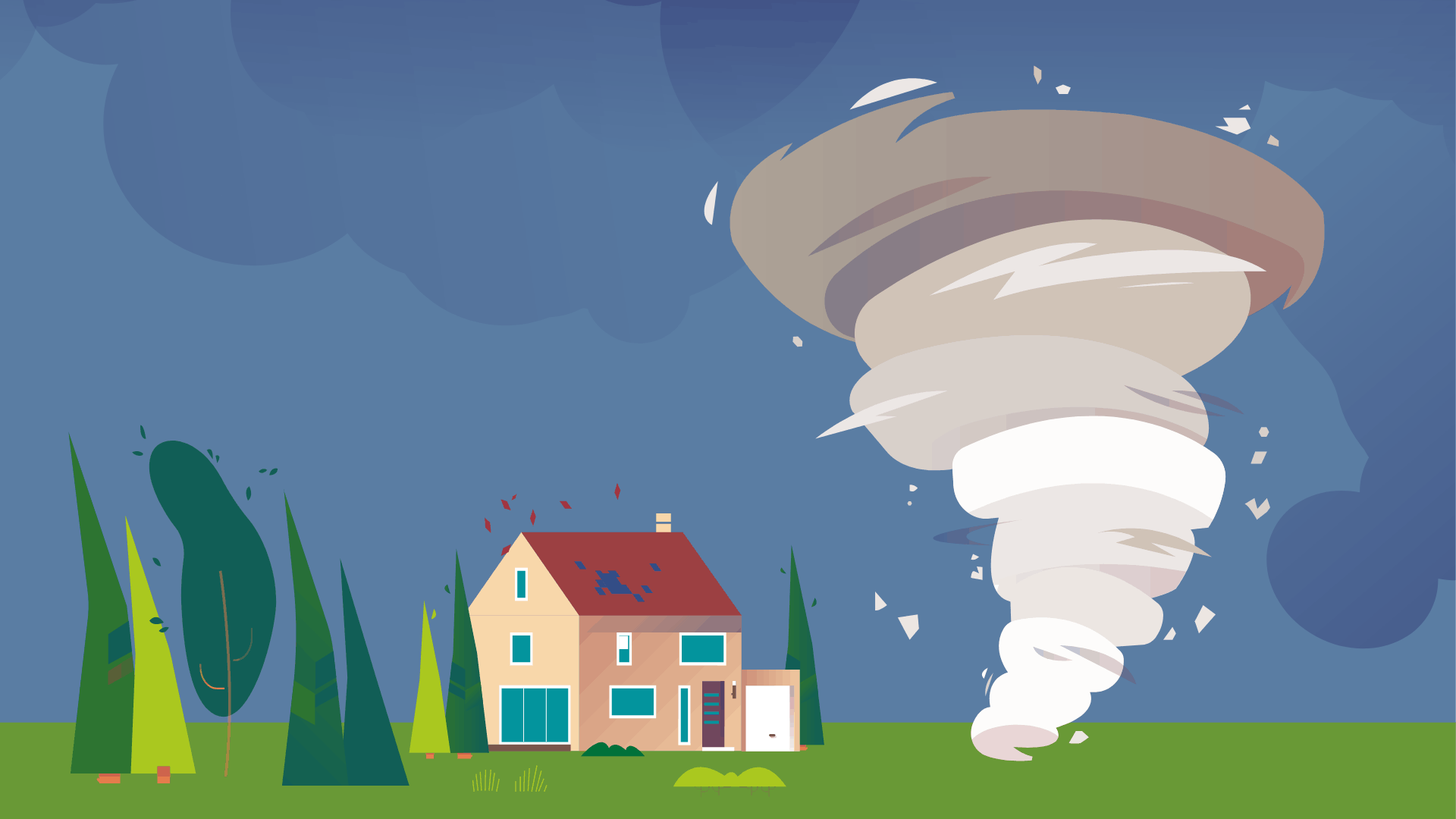
- Storm risk in FranceViolent wind phenomena• Storms, tornadoes, cyclones, hurricanes and typhoons: these meteorological events are all characterized by very intense winds. Storms are extensive areas of violent winds accompanied by heavy rainfall. They are classified as storms when wind reaches or exceeds 89 km/h for at least 10 minutes. • Tornadoes are whirlwinds that form beneath a thunderstorm cloud. They travel a few kilometers and are generally short-lived but can be locally destructive. • As for cyclones, hurricanes and typhoons, these three terms actually describe the same meteorological phenomenon. It is a violent wind that swirls at more than 119 km/h around a center, the eye of the cyclone, and forms above the ocean in tropical zones. Their name depends on the region of the world where they occur. In the Atlantic Ocean and the northeastern Pacific Ocean, the term hurricane is used, whereas in the Indian Ocean and the southern Pacific, it is cyclone. In the northwestern Pacific Ocean, they are typhoons.Damage and exposed areas• Storms can cause numerous material and human damages. Wind exceeding 89 km/h is powerful enough to uproot trees, tear off roofs or knock over an adult without support. Storms sometimes cause electricity and telephone outages and can disrupt train and airplane traffic. They are also associated with flooding due to heavy precipitation. • Storms affecting mainland France generally begin over the Atlantic Ocean or the Mediterranean Sea. They can extend across several regions and even affect all of mainland France. The western part of the country is particularly exposed to major storms arriving from the Atlantic Ocean in winter: damage is most significant in Brittany, Normandy and New Aquitaine. Between 2016 and 2021, damage to buildings caused by storms, hail and snow cost an average of 1,128 million euros per year. • In summer, significant wind gusts also occur during thunderstorms (Source: SDES, Key figures on natural hazards 2023).Weather alerts> The alert scale > To know the danger level in your department, Météo France publishes a weather alert map each morning. The alert takes into account several natural hazards, including violent winds and thunderstorms. If your department is on yellow alert, stay attentive: these are usual meteorological conditions for your region but sometimes dangerous. On orange alert, you must be very careful and stay informed of safety instructions, as dangerous phenomena are expected. Red alert corresponds to the highest level of danger: these are particularly intense meteorological conditions. Keep yourself regularly updated on the situation and follow instructions given by public authorities.Damage compensation: Storm Hail Snow coverage• Storm Hail Snow coverage is included in multi-risk home and vehicle insurance policies. It covers damage caused by these events: damage from violent wind, projected objects or falling trees, hail and the weight of snow. To receive compensation, damage must be reported to your insurer as soon as possible. Some insurers may require a bad weather certificate issued by Météo France. • Between 1990 and 2020, three-quarters of damage compensated by Storm-Hail-Snow coverage is related to violent winds (Source: SDES, Key figures on natural hazards 2023). Hail can also cause significant damage when it affects cities and crops (Learn more about compensation for agricultural losses). • In case of cyclonic winds exceeding 145 km/h average over 10 minutes or 215 km/h in gusts, natural disaster coverage applies (Learn more about natural disaster coverage).
- Tropical cyclonesCyclone formation• Cyclones form above a tropical ocean when certain meteorological conditions are met. Notably, the ocean temperature must be high in the first 60 meters for water to evaporate into the atmosphere. It is the Coriolis force that causes the cyclone to swirl: it is due to Earth's rotation and strongly influences air mass movements in tropical zones, several hundred kilometers from the equator. • The eye of the cyclone corresponds to the zone at the center of the whirlwind where there is very little wind and rain. The wall is the zone around the eye, composed of thunderstorm clouds, where wind is particularly violent and rainfall abundant.Devastating consequences• In France, several overseas regions and territories are exposed to cyclone risk: Martinique, Guadeloupe, Saint Martin and Saint Barthélemy, Réunion, Mayotte, New Caledonia and French Polynesia. The cyclone season typically runs from June to October in the Caribbean and from November to April in the Southern Hemisphere. • Cyclones can have many devastating consequences on populations and buildings. For example, intense and irregular rainfall associated with cyclones can cause flooding, storm surge, mudslides or landslides. An abnormal rise in sea level during a cyclone's passage can create storm surge flooding. • Cyclone swell also represents a risk: it is intense ocean agitation caused by wind that travels faster than the cyclone itself. Swell can cause coastal flooding or wave impacts and worsens shoreline erosion (Source: Géorisques, Expert file on cyclonic winds). • To limit cyclone impacts on buildings, the most effective solution is to follow certain construction rules to make buildings more resistant. • Cyclones can be predicted several days in advance using numerical models and are then tracked using satellites or radar. However, predictions of exact cyclone trajectories and their intensity remain slightly imprecise. During a weather alert, it is important to regularly follow the situation (Source: Géorisques, Cyclone). • > Cyclone classification > According to the Saffir-Simpson scale, hurricanes are classified into 5 categories based on wind intensity. Category 1 corresponds to winds between 119 km/h and 154 km/h. Category 5 designates the most dangerous cyclones, with winds exceeding 249 km/h.Climate change: more intense cyclonesAccording to the sixth report of the IPCC (Intergovernmental Panel on Climate Change), cyclones could be less frequent in the future, but they are becoming increasingly intense under the effects of climate change. Their average intensity could increase by 5% and the share of very intense cyclones (category 4 and 5 cyclones) should increase by 14%. Climate simulations also show an increase in cyclone rainfall of nearly 12% with global warming of 2°C compared to pre-industrial temperatures (Source: Météo-France, Climate change: what impact on cyclones?).
Further reading
- Les inondationsnotre-environnement.gouv.fr
Crues, pluies intenses : la France fait face à plusieurs risques d’inondation. Pour se protéger, il faut connaitre les zones à risque et les alertes de vigilance.
- Les mouvements de terrain en France : types de risques et préventionnotre-environnement.gouv.fr
Il existe plusieurs risques de mouvements de terrain en France : glissement de terrain, effondrement de cavité souterraine, éboulement et retrait gonflement des argiles.
- Géorisques, le portail pour s’informer sur les risques naturels et technologiquesgeorisques.gouv.fr
- Météo France, la carte de vigilancevigilance.meteofrance.fr