L’érosion des côtes et la montée du niveau de la mer
Des plages plus petites, des falaises qui s’effritent et le niveau de la mer qui augmente : en 50 ans, l’érosion côtière a entraîné la disparition de 30 kilomètres carrés de terres en France. Cela équivaut en moyenne à près de 7 terrains de football par mois. Un quart des côtes françaises (hors Guyane) est concerné (Source : SDES, Chiffres clés de la mer et du littoral).
Smaller beaches, crumbling cliffs and rising sea levels: in 50 years, coastal erosion has caused 30 square kilometers of land to disappear in France. On average, this equals nearly 7 football fields per month. One quarter of French coasts (excluding Guyana) is affected (Source: SDES, Key figures for the sea and coast).
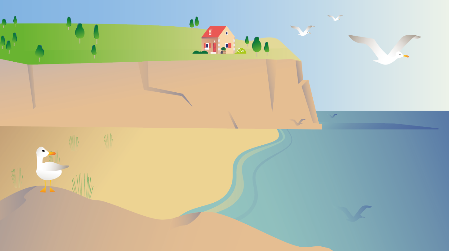
- What is coastal erosion?Coastal erosion definedCoastal erosion occurs when the boundary between land and sea shifts inland. Over time, parts of the land disappear: beaches have less and less sand, waves carve into rocks, and cliffs collapse.Natural phenomenonCoastal erosion occurs naturally. For example, on beaches, sand is always in motion. It can be displaced by wind or carried by currents. Erosion happens when a beach loses more sand than it gains. On cliffs, erosion can be caused by waves, rain or frost. Limestone cliffs are more vulnerable than hard rock cliffs like granite.Climate change impactHowever, erosion is also worsened by climate change. Rising sea levels play an important role: global average ocean levels have risen 20 cm since 1900, including 10 cm between 1993 and 2020 (Source: SDES, Key figures for the sea and coast 2024).Why sea levels rise• Why is sea level rising? Sea levels are rising for two reasons linked to climate change: • Rising temperatures melt glaciers and polar ice caps: freshwater is added to the ocean, accounting for two-thirds of the increase. • The ocean is warming: when water gets warmer, it expands, taking up more space. Its volume increases. This accounts for one-third of sea level rise (Source: SDES, Key figures for the sea and coast 2024). • Erosion can also be accelerated by human activities such as sand extraction, dam construction that blocks natural sand supply from rivers, and coastal development.
- How are the French exposed to coastal erosion?Coastal urbanizationSince the 1950s, coastal areas have been urbanized: population has grown, economic and tourism activities have developed, and many buildings have been built by the sea. This is what makes these areas vulnerable.Threatened homes and businesses• By 2050, 5,200 homes, including 2,000 second homes, could be threatened by coastal erosion, as well as 1,400 commercial properties, such as shops, hotels, offices or campsites. • By 2100, 449,000 homes and 53,000 commercial properties could be threatened if no action is taken to address climate change effects (Source: Cerema, Coastal line projection and national-level stakeholder analysis – 2050 and 2100 horizons). • Certain areas in mainland France are particularly exposed: for example, the bays of Hauts-de-France, the harbors of Cotentin in Normandy, the west coast of Oléron in Charente-Maritime, Gironde, or the Camargue between Gard and Bouches-du-Rhône (Source: SDES, Key figures for the sea and coast 2024).Coastal line change by departmentThe coastline is the boundary between land and sea, that is, where the sea reaches at high tide or the edge of a cliff, for example. Coastline retreat corresponds to land that disappears due to erosion.
- Erosion, flooding, storms: interconnected coastal risksMarine floodingBuildings by the sea are also exposed to marine flooding risk. These are temporary coastal floods lasting between a few hours and a few days. In France, 1.5 million people live in areas potentially exposed to this type of flooding (Source: SDES, Key figures for the sea and coast 2024).Storms and cyclonesStorms have significant consequences on coastlines. They can accelerate erosion and cause sudden coastline retreat of several meters. The same applies to cyclones and, in particular, cyclonic swell. This strong sea agitation, caused by wind, travels faster than the cyclone. Very high waves reaching the coast can weaken dunes and cliffs (Source: Géorisques, Expert report on cyclonic winds).
- How to protect against coastal erosion?Dikes and hard solutionsDikes or walls are sometimes built to prevent coastline retreat. However, these structures have the disadvantage of displacing the problem: erosion becomes even more significant after the dike or wall.National strategy and soft solutionsToday, the National Strategy for integrated coastal line management favors so-called 'soft' solutions that accept natural coastal evolution, such as nature-based solutions. The goal is to 'live with' rather than 'fight against' the sea (Source: Cerema, Soft methods. Feedback for the coast).Nature-based solutions• Nature-based solutions are actions aimed at preserving and restoring natural ecosystems. For example, in the Mediterranean, posidonia seagrass beds can reduce coastal erosion by decreasing wave height by 30%. Mangroves and coral reefs in overseas territories also help reduce wave force (between 13 and 66% for mangroves and between 51 and 74% for coral) (Source: Cerema, Soft methods. Feedback for the coast). • Sand dunes are also important because they form a sand reserve that can replenish and rebuild the beach after a storm. There are solutions to rebuild dune ridges: for example, installing small 'windbreak' barriers to trap sand and prevent it from being blown away. Then vegetation plays an essential role, as it promotes dune maintenance and stability (See the National Forests Office actions to protect 380 km of dunes in France).Relocation of activitiesTo adapt to coastal erosion and rising sea levels, it is sometimes necessary to plan the relocation of economic activities and homes to areas less exposed to erosion and marine flooding. This is already the case in the villages of Le Prêcheur in Martinique and Petit-Bourg in Guadeloupe (Cerema, Coastal risk management: feedback from resilient coastal cities).
Further reading
- GéoLittoral – Le littoral de ma communegeolittoral-data.cerema.fr
Cherchez votre commune pour voir l’évolution du trait de côte entre 1950 et aujourd’hui
- Les inondationsnotre-environnement.gouv.fr
Crues, pluies intenses : la France fait face à plusieurs risques d’inondation. Pour se protéger, il faut connaitre les zones à risque et les alertes de vigilance.
- Carte interactive du BRGM: quelles sont les zones exposées à la submersion marine?sealevelrise.brgm.fr
- Les tempêtes et les cyclonesnotre-environnement.gouv.fr
Tempêtes, cyclones, ouragans : en France métropolitaine et dans les outre-mer, les vents violents peuvent avoir des conséquences dévastatrices. Quels sont les risques ?
- Changement climatique : le village de Miquelon déménagenotre-environnement.gouv.fr
Face au risque de submersion, le village de Miquelon se relocalise. Patricia Bourgeois, directrice des territoires, de l’alimentation et de la mer de Saint-Pierre-et-Miquelon nous explique ce projet inédit.
- Les risques naturels majeurs en Francenotre-environnement.gouv.fr
La France est exposée à des risques naturels variés et de plus en plus fréquents, pouvant avoir des conséquences matérielles et humaines importantes.
- GéoLittoral – Le littoral de ma communegeolittoral-data.cerema.fr
Cherchez votre commune pour voir l’évolution du trait de côte entre 1950 et aujourd’hui
- Chiffres clés de la mer et du littoral – Édition 2024statistiques.developpement-durable.gouv.fr
Datalab - Service des données et études statistiques - Mars 2024.